
Sources
Listed below are the datasets, reference works and tools used to build Etymap.
Geographical datasets
- OS Open NamesOGL v3
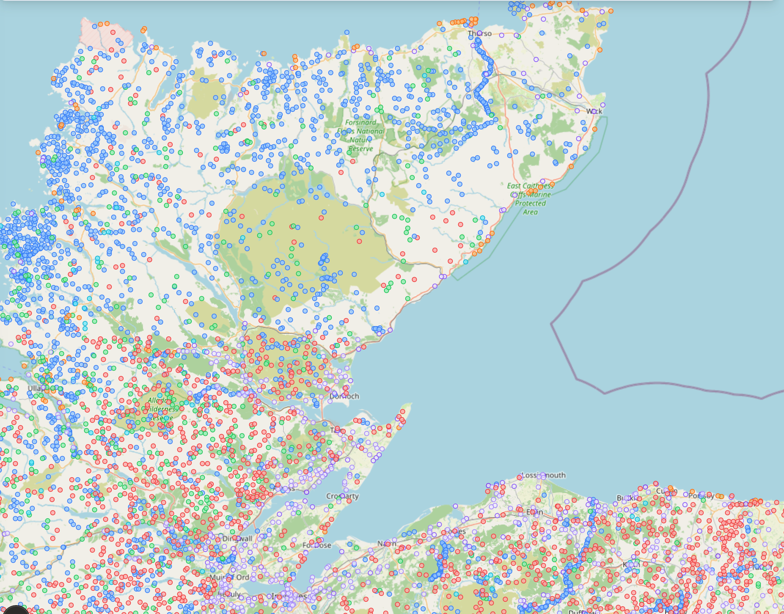
Authoritative dataset of place names across Great Britain, including geographic coordinates, place types and administrative regions. The primary source for lat/lon data and place name strings on Etymap.
https://www.ordnancesurvey.co.uk/products/os-open-names ↗ - Gazetteer of British Place Names (GBPN)CC BY 4.0
A comprehensive gazetteer providing alternative and variant forms of British place names. Used to supplement OS Open Names with additional name forms.
https://www.gazetteer.org.uk/ ↗ - Database of British and Irish Hills (DoBIH)CC BY 4.0
Comprehensive hill classification data (Munros, Wainwrights, Corbetts, etc.), including elevations and summit coordinates.
https://www.hills-database.co.uk/ ↗
Automated processing tools
- Gemini 2.5 (Google)Google Terms of Service
Large language model used to generate candidate etymological interpretations where no attested source is available. Output is provisional and clearly marked as AI-generated on all place pages.
https://ai.google.dev/ ↗
Software and mapping libraries
- LeafletBSD 2-Clause
Open-source interactive map library.
https://leafletjs.com/ ↗ - React LeafletMIT
React bindings for Leaflet.
https://react-leaflet.js.org/ ↗ - Next.jsMIT
React framework used for the web application.
https://nextjs.org/ ↗ - Tailwind CSSMIT
Utility-first CSS framework.
https://tailwindcss.com/ ↗
Licensing notes
Etymap’s own content (summaries, analyses and layout) is published under Creative Commons CC BY 4.0 unless otherwise stated.
Underlying data is subject to the licences of each source dataset. OS Open Names (OGL v3) and GBPN (CC BY 4.0) require attribution, which is given on this page.
Acknowledgements
Etymap is grateful to Ordnance Survey, the Gazetteer of British Place Names, the Database of British and Irish Hills, and the wider open-data community for making foundational geographic and linguistic datasets freely available.